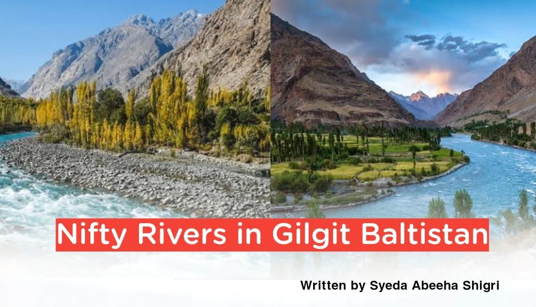
Nifty Rivers in Gilgit Baltistan:
Thank you for reading this post, don't forget to subscribe!Written by Syeda Abeeha Shigri
Gilgit Baltistan has much more resources of water, we can say that it’s a treasure of water. A major part of Pakistan is being irrigated by the water resources of GB. There is a potential to produce around 52,000 MW of hydroelectric power in this region. Currently, two mega projects are under consideration on the River Indus, one is the Diamer Bhasha Dam and the second is Bunji Dam. The total power capacity of these dams would be 11,600 MW.
The longest and largest river in Asia, Pakistan, and GB is the Indus River which is approximately 3200 km in length.
It is called Sindh in Sindhi, Sindhu in Sanskrit, Sin-Kha-bab or Sengge Chu(Lion River) in Tibetan, Hindu or Mehran in Persian, Sinthos in Greek, Abaseen(The Father of Rivers) in Pashto and Shendu in Chinese.
Actually, it originated from the Ganri or Kailash range of Tibet, the northern area of Pakistan, laying to the northwest of lake Mansarovar.
The total drainage area of this river is about 450,000 sq miles and the estimated annual flow stands at around 207 cubic Km.
This river is mainly fed by the snow and glaciers of the Karakoram, Hindukush, and Himalayan ranges of Tibet, Kashmir, and the Northern Areas of Pakistan. It has 20 major tributaries. It runs a course through Gilgit Baltistan and Kashmir, flowing through the North in a southern direction along the entire length of Pakistan.
It begins at the confluence of the Sengge and Gar rivers that drains the Nganglong Kangri and Gangdise Shan mountain ranges then flow through Ladakh and Kargil and is joined by the Zanskar River at Nyimu just below the Leh. The River Wakha, Suru, and Dras river join with the Indus River in Kharmang.
It meets the great Shyok River just below Keris while the Shigar River meets with it at Sundus village in Skardu.
The distance of the Indus River from its source to Skardu is about 620 miles.
It flows from Skardu towards Bunji via Rondu Valley increasing its water by dozens of tributaries and streams. The junction of the Indus with the Gilgit river is at Maqponi Shagharan while with the Astore River at Bunji.
It gradually bends to the south, coming out of the hills between Peshawar and Rawalpindi, and passes gigantic gorges near the Nanga Parbat massif. It swiftly flowed across Hazara and is dammed at the Tarbela Reservoir. The Kabul River joins it near Attock.
The left bank tributaries of the Indus River are Zanskar, Suru, Soan, and Panjnad rivers. Panjnad River is the main left tributary of the Indus River which is formed by the confluence of five rivers of Punjab, namely Chenab, Jhelum, Ravi, Beas, and Sutlej. In contrast, the right bank tributaries are Shyok, Hunza, Gilgit, Swat, Kunar, Kabul, Kurram, Gomal, and Zhob Rivers.
This river at one time is also named as Stand River( Sat-= seven, nadi= river) as it carries the water of the Kabul River, Indus River, and the five Punjab Rivers. At last passing by Hyderabad, it ends in a large delta to the east of Karachi and then flows into the Arabian Sea in Pakistan.


